$135,261
Average salary
(Genium360, Remuneration of engineering professionals in Quebec – Investigation report 2025-2026)
4 years
Duration of the bachelor’s degree in geomatics engineering
Everywhere
Ambulances, wildfires, floods, marketing: geomatics is behind it all.
Track wildfires using satellite imagery.
Geomatics saves lives: by mapping fires in real time, it helps civil protection teams predict their spread and protect communities.
Track ambulances in real time.
And monitor spring floods across Quebec: that’s geomatics too!
Geolocation: a fast-growing marketing tool.
Companies use it to target and locate their customers.
As a geomatics engineer, you will design and manage systems that capture, analyze, and represent data about our territory.
Source: REPÈRES, the official school and career information website (in French)
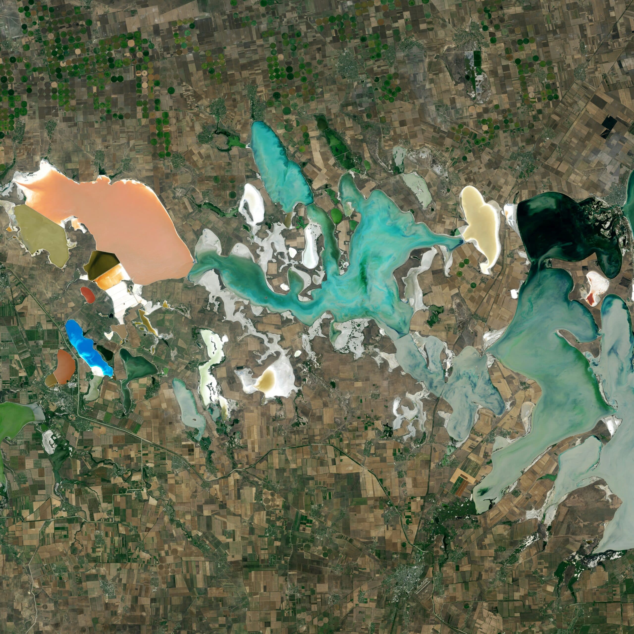
Geomatics engineers work in fields as diverse as government, public utilities, and information technology.

THE EYE THAT NEVER SLEEPS
Satellite imagery, GPS sensors, warning systems: geomatics engineers build the tools that monitor and protect Quebec’s territory in real time.
150 years
Of geoscientific data on Quebec.
MONITORING MINES FROM SPACE
The Lac à Paul phosphate mine project uses remote sensing and geomatics tools to improve worker safety in the field—one concrete example of how geomatics reduces risk in demanding environments.
An interactive game to explore the different types of engineering and find the one that best matches your interests and talents.